Geospatial research is the study of geographic information, how we
collect, store, manage, analyse, and visualise it. We tackle a range of
geospatial research questions. These are 8 of the scientific services we
offer:
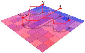
Least Cost Path
Determine the least-cost path from origin to destination using
multivariate attributes
Identify density of paths in a certain areas
Calculate cost surfaces and evaluate least-cost path attributes
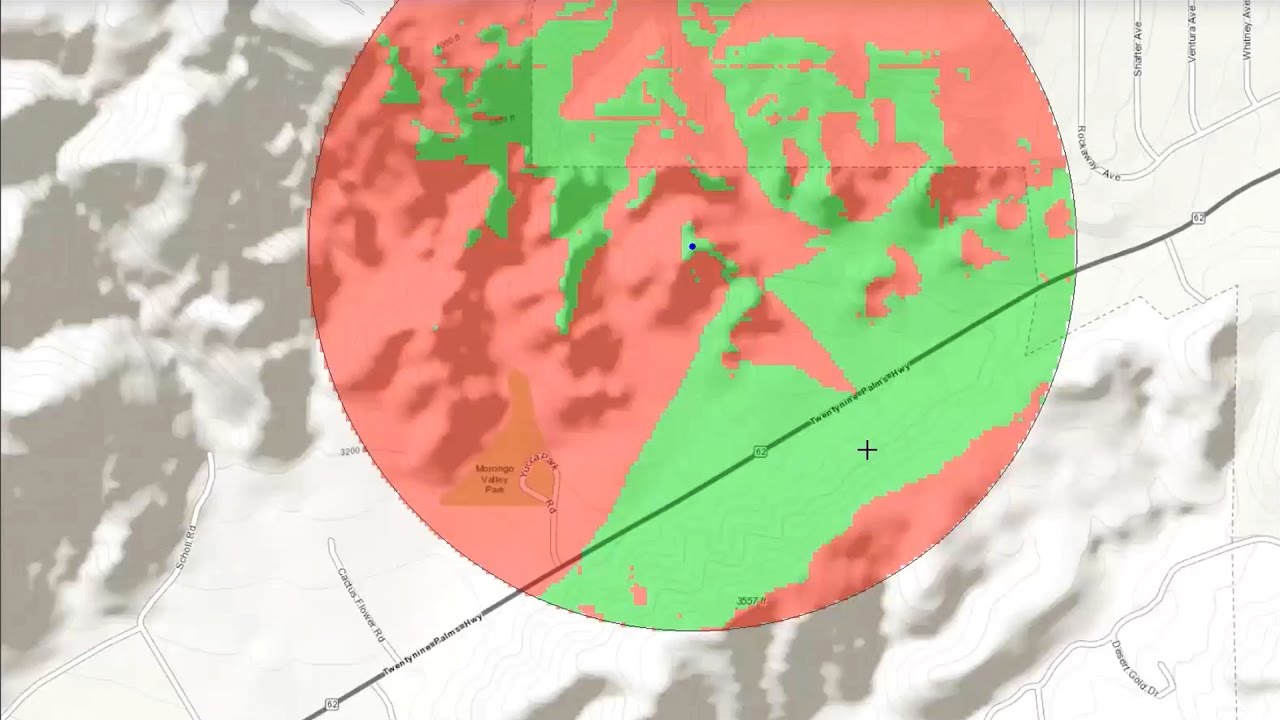
Visibility
Measure visibility characteristics from source locations to the
general surrounding area
Binary visibility measures between pairs of locations
Optimal location selection for maximizing visibility aspects
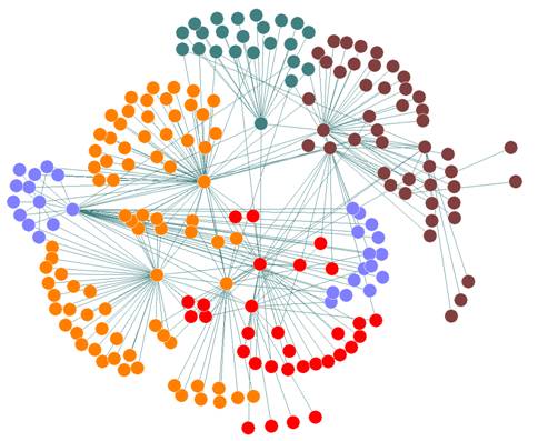
Network Analysis
Centrality measures
Isolation and accessibility measures
Travel paths and network paths optimization
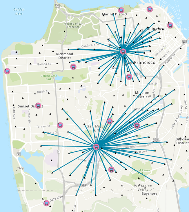
Location Allocation
Allocation of resources to hubs
Students-Schools allocation and optimization based on constrains and
distance
Spatial Autocorellation
Spatial association between locations
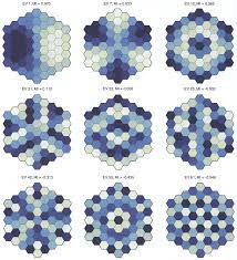
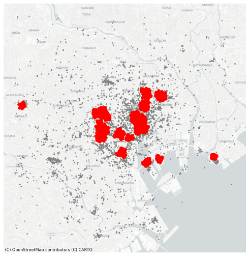
Point Pattern Analysis
Density based measures
Distance based measures
Evaluation of spatial distribution of points against CSR
Modeling, visualization, and interpretation of point data
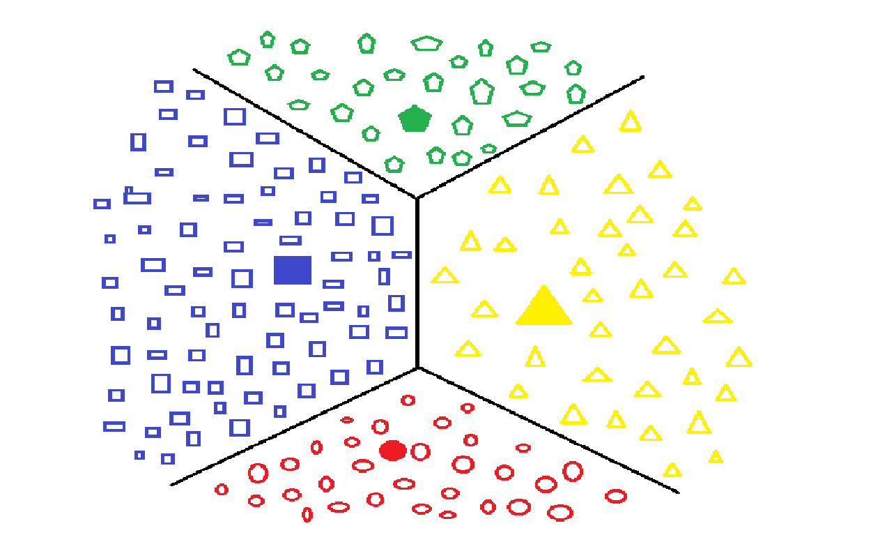
Data Mining
Identify patterns and relationships that can help solve business
problems
Use machine learning and statistical analysis, along with data
management tasks for clustering and association of data
observations
Association rule mining, Classification, Clustering, Regression,
Sequence and path analysis
20-Minute City
Modeling transportation networks of a city for evaluation of the
idea for a “20-minute city”. This includes the notion of a walkable,
accessible city with a high quality of life for residents.