Expert Advice: Offering expert opinions and
insights to organizations seeking guidance on specific subjects related
to my field of expertise. This may involve providing technical advice,
reviewing and evaluating projects or proposals, or offering
recommendations based on my research findings.
Research Collaboration: Collaboration with
external organizations to conduct research projects. Providing guidance
on research design, methodology, data analysis, and interpretation of
results.
Training and Workshops: Can be engaged to
deliver training sessions or workshops to professionals in a particular
industry or organization.
Policy Development: Can contribute to the
development of policies and regulations. Have been consulted by
government agencies, NGOs, or other organizations seeking evidence-based
insights to shape their policies or address societal challenges. I can
provide expert opinions, conduct research to inform policy decisions,
and offer recommendations based on up-to-date academic
knowledge.
Project Evaluation: Evaluating the effectiveness
or impact of projects or initiatives undertaken by external
organizations. Assess the outcomes, measure success against predefined
objectives, and provide recommendations for improvement.
|
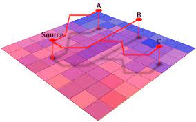
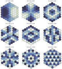
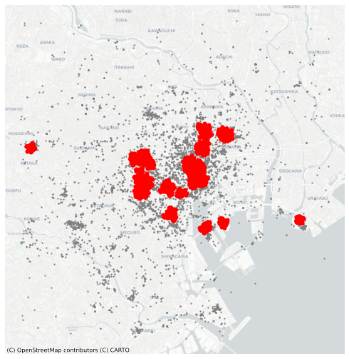
Spatial Data Analysis: Consultancy services on
spatial data analysis techniques, including data collection, geospatial
data management, spatial statistics, and spatial modeling. Organizations
may seek my expertise to analyze and interpret geographic data, create
maps, identify patterns, and derive insights for various purposes such
as urban planning, environmental assessments, market analysis, or
transportation planning. Geographical Information Systems (GIS): Many
organizations rely on GIS technology for managing and analyzing spatial
data. I offer consultancy on GIS implementation, customization, and
optimization. This may involve advising on GIS software selection,
database design, geoprocessing workflows, spatial analysis techniques,
and developing custom GIS applications to address specific
needs. Remote Sensing and Image Analysis: Provide
consultancy on Remote Sensing technologies and image analysis
techniques. This could involve helping organizations interpret satellite
imagery, aerial photographs, or LiDAR data for applications such as land
cover mapping, vegetation analysis, disaster monitoring, or
infrastructure planning. Spatial Modeling and Simulation: Spatial
modeling and simulation projects. Organizations may seek my consultancy
services to develop models that simulate spatial phenomena, such as
transportation networks, urban growth, climate change impacts, or the
spread of diseases. I can also advise on model development,
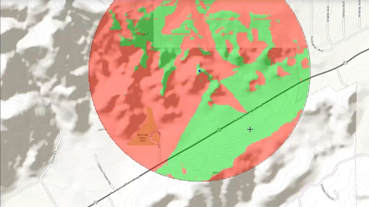
parameterization, calibration, and validation. Geographical Risk Assessment: Assessing
geographical risks and vulnerabilities. Organizations may consult me to
analyze and map potential hazards like natural disasters (e.g., floods,
earthquakes), environmental risks (e.g., pollution, deforestation), or
socioeconomic vulnerabilities (e.g., poverty, inequality) within
specific regions. Can provide recommendations on risk mitigation
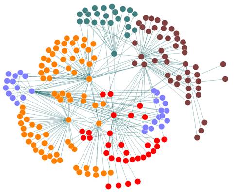
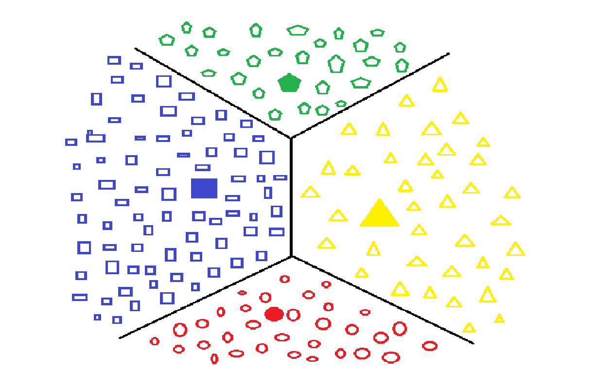
strategies and resilience planning. Geospatial Big Data Analytics: With the
increasing availability of geospatial big data from various sources,
organizations may require assistance in analyzing and extracting
insights from large and complex spatial datasets. I can offer
consultancy on big data analytics techniques, including data processing,
visualization, and advanced analytics (e.g., machine learning,
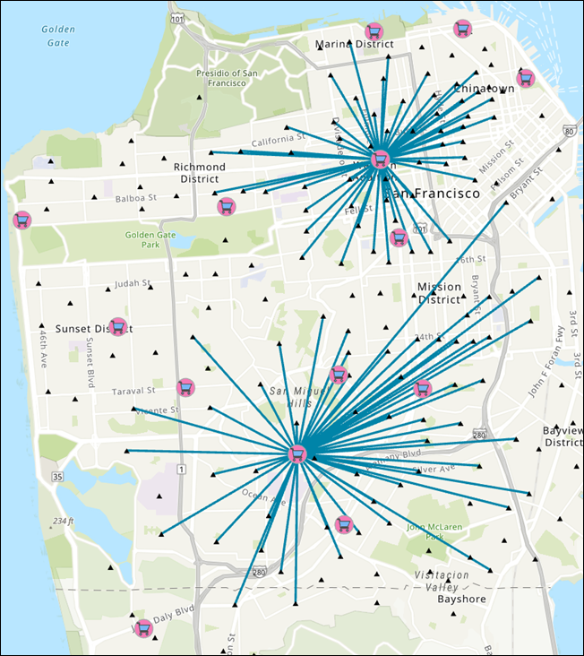
geospatial clustering) to support decision-making processes. Location Intelligence and Business Analysis: My
expertise in geographical analysis can also be applied to location-based
business analysis and market research. Organizations may seek my
consultancy services to analyze customer behavior, identify market
trends, optimize site selection for new business locations, or develop
location-based marketing strategies using geospatial data and analytical
techniques.
|